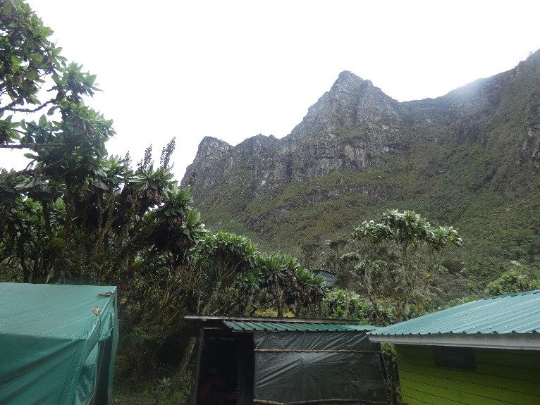
The fabled “Mountains of the Moon” in Rwenzori Mountains National Park, one of Uganda’s UNESCO heritage sites lie in Western Uganda along the Congolese border where the snow-covered equatorial peaks rise to a height of 5,109m and the lower slopes are blanketed in moorland and rich montane forest.
Most of the park is accessible only to hikers although the magnificent scenery and 19 Albertine Rift endemics would be ample reward for Birders.
Rwenzori Mountains National Park protects the eastern slopes and glacial peaks of the 120km-long Rwenzori Mountains, a world-class hiking and mountaineering destination.
Not the highest in Africa but unequivocally beautiful in Africa only 5109 meters.
Rwenzori is a spectacular mountain range in Central Africa, located on the border between Uganda and the Congo, and rising to a height of 5,109 meters.
The Rwenzori Mountains, along with the Kilimanjaro Mountain and Kenya Mountains, are the only snow covered regularly in Africa.
Rwenzori mountains has 50% of the snow that is found in Africa.
The length of the ridge is 120 km and its width is 65 km. It consists of six mountain blocks separated by deep tides: Mount Baker, Mount Amin, Mount Gassi, Mount Luigi, Mount Spike and Mount Stanley.
Mount Stanley is the largest, with a number of peaks, of which the summit of the Margerita is the highest in the ridge.
The prevalent hypothesis is that mountains were created as a result of tectonic plate movements, which caused interesting and unusual geological phenomena because of the proximity of the ridge to the equator.
The Rwenzori Ridge serves as the largest and most important water source in western Uganda which feeds the Edward and George Lakes, which are of economic importance to the area’s inhabitants.
Beyond that, the mountains serve as a major source of water for Albert Lake, which is one of the white Nile waters that reach as far as Egypt.
Some believe that they are, after all, mentioned by Ptolemy as the source of the White Nile, although his descriptions are not clear enough to be identified.
The park is known for its wide variety of plant species which includes a large number of species for the higher areas. The nature of the vegetation depends largely on the height, when a number of different areas must be distinguished:
Below 2,400 meters of vegetation is defined as a tropical rain forest, which has high minerals and high climbing fruits. This area has large and ancient trees..
The jungle area merges into bamboo forest that reaches up to 3,000 meters high, the bamboo height reaches as much as 10 meters and even more.
At 3000 altitude, the bamboo forest is replaced by an alpine area at its base combined with huge marshes in the valleys.
This area is characterized by wild field vegetation, different shrubs from the heather species and old trees (the giant Savion trees)
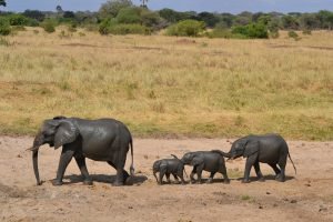
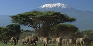
The animal population in the park is comprised of African wild elephants, wild cats including tigers, 3 monkey species, 2 antelope species, and a variety of lizard reptiles and special birds such as the Shoe Bird.
The Rwenzori Mountains (in the local language meaning moon) or in their foreign name the Mountains of the Moon were navigated in 1862 by the British Empire’s well-known landlords – James Grant and John Spike.
The meaning of the Rwenzori Mountains was officially confirmed as part of the Nile origins and as an option to the Moon Mountains mentioned by the Greek philosopher Thalmei by his expedition to the summit of the discoverer of the lands of Henry Stanley in 1889, the climbing of the mountain was complicated and difficult, like the previous expedition, the expedition of the Stellenbosch delegation, Altitude sickness, attacks by various tribes, animals of prey and extreme weather which did not allow them to reach these summits only to a saddle at 4500 meters.
On arrival, the heavy fog saddle made it difficult to see and the delegation decided to set up camp in the area.
At night the fog dispersed and the clear sky allowed the full moon to light up the mountain.
Stanley envisioned the spectacular and extraordinary sight, the mountain glowed in the moonlight and reached the distances and the members of the expedition who stayed in the village at the foot of the mountain also saw it.
Due to the inability and knowledge of climbing on snow and ice (glacier up) it was decided not to continue climbing.
The highest summit was reached by an Italian delegation in 1906 led by Luigi Amado Abruzzi and named the highest summit after the Queen of Italy Margerita. (This queen was very famous and accepted by the Italian people and so many revelations and sites were named after her even Pizza Margerita Which we all know is named after her).
The Moon Rays are featured in Western works in bulk and even a film is made on the voyage of the explorers of the countries who discovered the highly successful Rwenzori Range in the world.
So after the impressive introduction and the fascinating background story behind the snow-capped mountains below the tracks-
-Two-day itinerary for Anok Playground (two days).
-Three-day track to the Alpine region 3174 meters (3 days).
-The 4-day route to the Motinda Observatory is 3975 meters.
-5-day course for Weizmann summit 4620 meters.
-8-Day Trail to Margherita Summit The highest peak at 5109 meters.
As ready for the summit it is also possible to pass on the peaks that are close to the track such as Mitzpe Motinda, Weizman, Sela and Stanley Mitzpeh at your discretion and physical ability.
# All treks include –
2 guides for every 3 people and for every three other travelers Additional guide – specializing in mountain and ice climbing, porters (depending on the amount of equipment – * allowed to carry up to 23 kg), senior medic (usually one of the guides).
Accommodation all along the route –
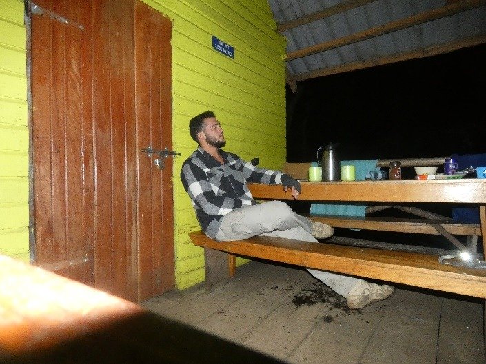
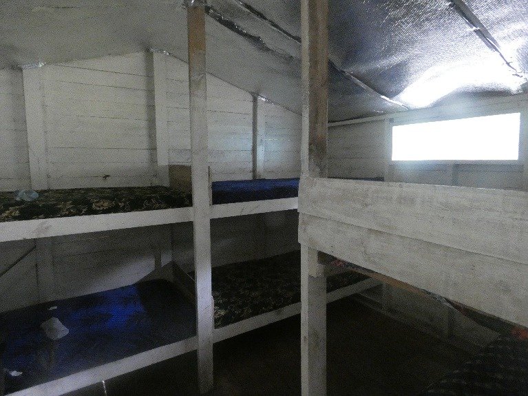
Secluded built cabins, dining room cabin with oven, beds and mattresses.
Food (Morning, Lunch, Evening, Intermediate Meals, Hot Drinking Coffee & Tea, Non-mineral Water)
Paramedic-level first aid equipment (not including procedures)
Snow and ice climbing equipment (secure and complex ice climbing)
boots.
Options for completing essential equipment such as raincoat and rain pants (need to find out before me).
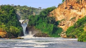
After arrival to Uganda. Pick up towards Uganda’s cleanest city, located in the center of the three major tourist areas: Marchinson Falls, Kibale Forest (Chimpanzees) and the Rwenzori Ridge.
Nearby are the crater lakes and hot springs of Uganda. This day is a transitional day and so most of the day will be spent traveling and looking at Uganda’s unique green beauty.
Accommodation at fort motel can be upgraded to luxury hotel accommodation

Fort Motel at Fort Portal
At the backpackers Climba BASE CAMP – Cena Cabin (2596m):
First day on the trek !!!
Get up early in the morning for a two hour drive to BASE CAMP. We’ll have breakfast.
Around 9-10 – we’ll start our journey. Let’s start at 1,450 feet. We will walk about 1 km to the 1,727-meter park inspectors’ post, where we will complete the park pass clearance. Today we will pass through rain forests. Region-specific.
Walking on this day is relatively moderate, although the last km is quite steep and significantly diminished in height (500 meters!).
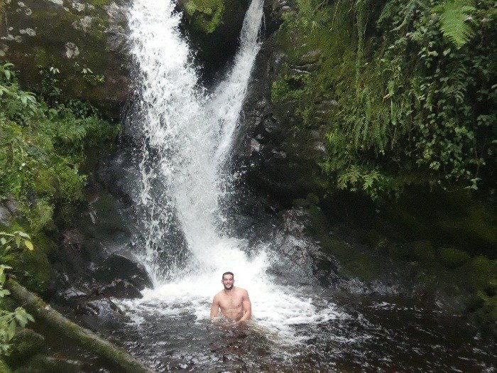
After arriving at the camp and for a short rest we will organize a short walk (200 meters) towards the Anok Falls which are named after the head of the company guides
You may even want to bathe.
Total 9.5 km
Accomodation in Cena Cabin
After breakfast we will be on our way to Camp Motida. We will start at the end of the jungle area and very soon we will move to the bamboo area the steep road with many high “stairs”. In the rainy season, this area is damp and muddy.
At the same time, the road is beautiful and mysterious. After 2 km we will reach the Kalmala camp at 3,150 meters altitude where you will enjoy a short break and breathtaking views.
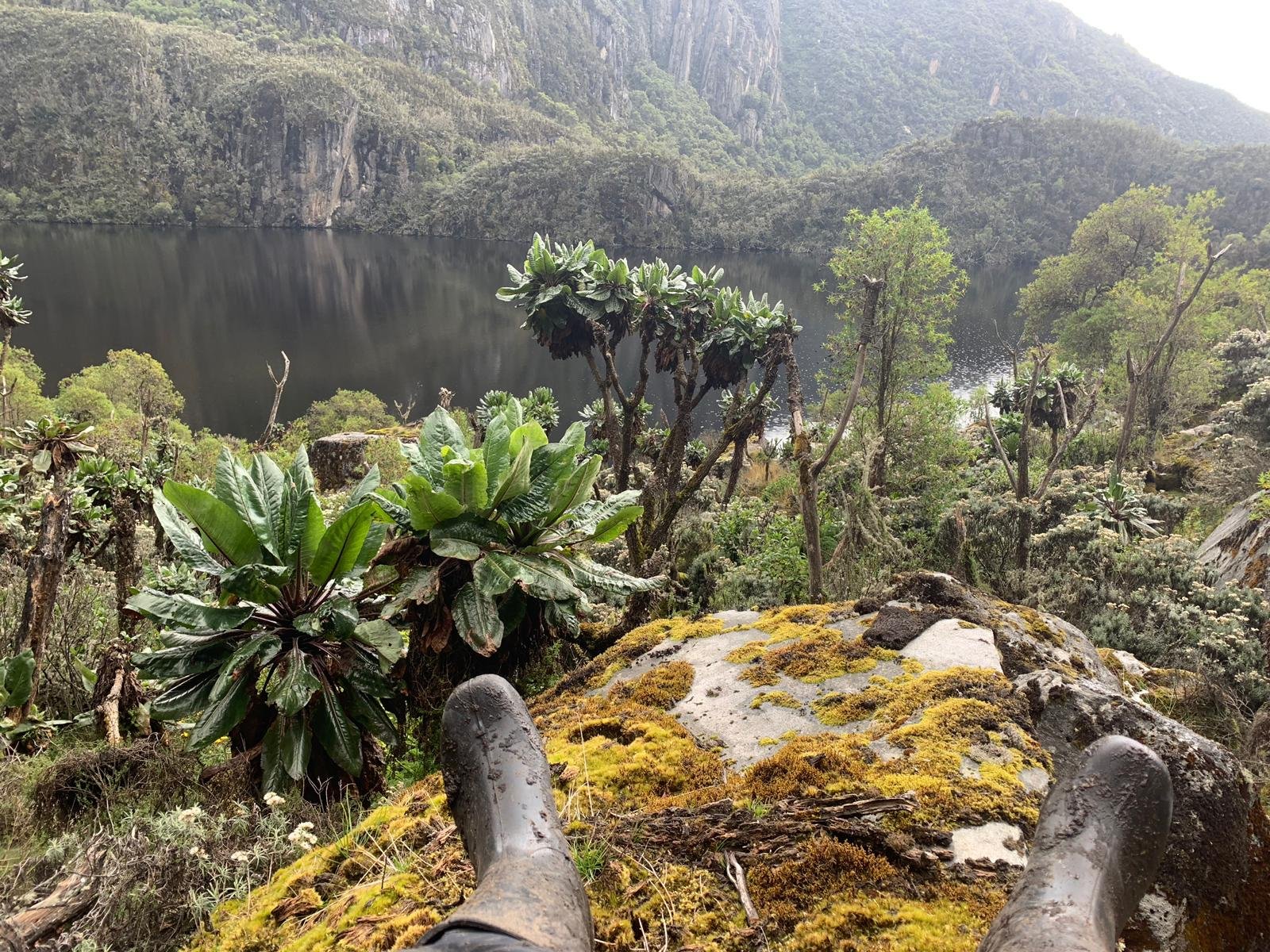
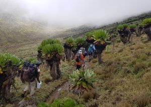
From there, the ups and downs continue as the landscape changes into the Afro-Alpine landscape, crossing a number of streams and passing by a few mossy moss waterfalls. On this day we also met with the huge sobriety so typical of this landscape On this day we first met with the impressive marshes of the crazy bridges that our guides in Nova reached Motinda, we can wash in the waterfall near the camp.
After resting and organizing there is an option to climb to the Motinda Observation, which is 3,975 m high. On good days the visibility reaches Lexsa and even Lake George, one of the western African fractures of the Syrian fault. From there we went back to camp.
Total 6.1 km
Overnight in the Motida camp.
Day hike in the alpine region of the ridge, a humid and wet area during the day climbs to altitude and traverses marshes.
We will cross the Mutnida Valley as we grow huge lobes and a variety of alpine plants and look for an impala called the busk pack. We will continue a steep climb towards the Namosangi Valley (3,840 m) which ends surprisingly on steep waterfalls and a great view of the Motinda peaks. Namosangi is a wide valley with many ups and downs along the way. The Bugata camp is on the way to the Passamwanjara Pass, high above the Bugata Lake, and overlooks lakes and mountain peaks.
Total 8.6 km
Accommodation in the Bugata camp.
Bugata Camp is also the location for helicopter rescue
This morning we will start the climb towards the peak of a crossing in Mwanjara (named after a Polish scholar) at an altitude of 4,450 m.
The glacier lakes will accompany us in the background. When we reach the height of the crossing, we can observe the main ice domes of the mountain range. We will continue downhill towards the Ketchup Lakes. The descent is steep and sometimes slippery, though offers a fantastic view of the Ketchup Lakes and the Rwenzori Peaks.
We will pass the Ketchup Lakes in an impressive and vegetated valley and start climbing towards our next camp, on the way we will pass through rock shelters used by the first expeditions to hide from the natural resources.
Camp Henwick sits on a high ridge above the Kitendra Channel flowing down from Scott Elliott Pass,
From the camp a great view on the ice dome of Mount Baker and the lakes.
Total 8.3 km
Accommodation in the Henwick camp.
This morning we will cross and cross a number of wet areas and small water channels coming from the Baker Summit and the Freshfields Passage on their way to merge with the Butaw Channel.
We will continue a fun walk through Scott Elliott Pass until we reach Mount Stanley Ridge and from there to Camp Margarita.
As we get closer to the area we will feel the significant drop in temp and more snowy and rocky scenery.
Total 5.1 km
Accommodation in the Margarita camp.
On this day we will get up early and leave at 2:00 in the night for the third highest peak in Africa and the only large glacier to climb in Africa.
We intend to reach Stanley Glacier and Margarita Glacier even before sunrise. On our way to the glacier we will pass through the Elena camp.
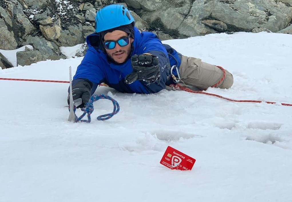
From this camp to the glacier is not easy, but not difficult. Once we reach the climbing glacier it is not very difficult, although the transition to the Margarita Glacier is steep and challenging. Here we will use fixed ropes and we will all be secured.
Please note: This is not a high-level technical type. In fact, in favorable weather conditions, the track is designed for anyone with experience and fitness who is height-adjusted, hence the length of the journey.
A final final challenge before the summit and we are on it. On a clear day the view from the summit is stunning margarita. After staying on the summit, we descended directly to the Henwick camp (3,974 m).
The distance between the Margarita Camp and the summit is 3.5 km, the distance from the summit to the Butaw camp is 9.2 km,
Total 12.7 km.
Accommodation in the Henwick camp.

There is also a glacial climb of 60% not long but nice.
The team is trained to a high standard and all snow and ice walking to the summit is secured by a skilled and licensed team using nailed ice shoes, securing ropes without challenging walking but tiring to reach the summit
On this day we leave the Hanwick camp (3,974 m), return and climb to Oliver Crossing (4,505 m), at the crossing we have the opportunity to ascend to Weizmann Summit and Rock Summit 600 meters away.
From the crossing across the ridge from the other side where we passed on the fourth day, we will see alpine scenery, impressive marshes, waterfalls and spectacular streams.
Finally, we will pass the Nawick Pass in the burnt forest area (evidence of a fire raging on the mountain in 2015) We will continue along the stream and reach our next camp.
Total 15.8 km
Accommodation in Kiharu camp.
On our way to the end we will climb again two hundred meters up the ridge of the view over the valley in front of us.
From there we will cross a number of small channels, passing through impressive sightings on Lake Edward, one of the great western fault lakes.
Once we get past the park inspectors’ position we will continue and walk until we reach our vehicles. From there we will drive to Fort Portal where you slept on the first day and arrive at the Fort Portal hotel for a last night in Uganda, we will celebrate the successful end of our journey.
Total 14.6 km
Accommodation at fort motel can be upgraded to luxury hotel accommodation
This morning we will leave the area at 9am back to Entebbe. We will end with a festive lunch and then to the airport and towards your next destination
The cost of the trek
Number of People | Price in USD per Person for Trekking |
1 Person | Price on Request |
2 Pax | $2236 |
3 Pax | $2146 |
4 Pax | $2116 |
5 Pax | $2076 |
6 Pax | $2056 |
* There is an option to combine with the Rwenzori route a trip to Uganda’s special safari and even enjoy the unique Uganda resorts.
